Kingman is where the trails of time intersect. If roads could talk, the ancient trails and sun baked roads that link to this Arizona town known throughout the world for its connection to Route 66 would provide an endless string of campfire yarns. So pull up a rock, grab a cup of coffee thick enough to float horseshoes and let’s talk about trails of time.
This northwest corner of Arizona is more than just a stop on Route 66. It is literally a crossroads of centuries. It is where ancient footpaths, dusty wagon trails, the railroad, Route 66, and modern superhighways are blended in a tale that starts long before the first tire rolled along the pavement.
So, make yourself comfortable and this old storyteller will share some tales about the ruts and roads less traveled, and the ones that helped shape a nation.
Where It All Began: Native Trade Routes, River Trails and Trails of Time
Long before wagons and locomotives rolled through the Hualapai and Sacramento Valley, a network of trade corridors linked the coast of California with villages in what is now New Mexico. Well-worn trade routes laced through the desert and along the rivers and streams. These early foot trails that were shaped by need as well as knowledge of the land, influenced the routes taken by Spanish and American explorers, settlers, and railroad surveyors.
The Colorado River was the southwests first superhighway. By the 1850s, steamboats paddled upstream from the Gulf of California to river ports such as Yuma and Hardyville, a former county seat north of present day Bullhead City. They brought supplies, entrepreneurs, pioneers, visionaries, grifters, and outlaws.
Wagons West: Beale Wagon Road & Mohave Prescott Road
In 1857, Lieutenant Edward Fitzgerald Beale blazed what would become known as the Beale Wagon Road. Building this road was also a transcontinental experiment that also famously included the U.S. Army’s short-lived use of camels.
As a point of trivia, the camel experiment was authorized by the secretary of war, a fellow mnamed Jefferson Davis. A few years later he would assume the presidency of the Confederate State of America.
The Beale Road along the 35th parallel roughly followed the old paths and crossed the Cerbat Mountains near modern-day Kingman. This was also the route chronicled by Father Garces during an expedition in 1776.
The Beale Road was one of the first federally funded highways in the southwest. It was also the foundation for future transportation corridors.
Then came the Mohave Prescott Road or Hardyville Road in the 1870s. It was forged to connect Hardyville, and then Fort Mohave, with the new territorial capital at Prescott. This road meandered over Union Pass roughly along current highway 68, Coyote Pass, US 93, and east along what became Route 66.
The Mojave Road: A Desert Artery of the Old West
No conversation about historic trails in northwest Arizona and the southwest deserts is complete without tipping the hat to the iconic Mojave Road. This ancient Native American trail across the Mojave Desert became one of the most vital military and pioneering wagon routes of the Southwest before completion of the railroad in the 1880s.
Running from the Colorado River near Fort Mojave to Newberry Springs, California, this desert track was once the primary trade corridor crossing the northern Mojave Desert.
The Mojave tribes used the route to trade between the Colorado River tribes and coastal peoples. Later, Spanish explorers, Mexican traders, American fur trappers, the American army and westward-bound pioneers followed the same path.
In the mid-1800s, the trail was militarized. Army outposts were established—Fort Mojave, Camp Rock Spring, Camp Cady — to protect wagon trains, and to secure this critical transportation corridor. The trail connected with routes like the Beale Wagon Road at the Colorado River and was part of a broader network that would shape travel throughout the Southwest.
Driving the Mojave Road Today
And here’s the good news for modern-day explorers. You can still travel the Mojave Road. Not in a wagon—unless you’ve got a serious sense of adventure and a team of mules. But a high-clearance 4WD vehicle is a necessity, and traveling with like minded adventurers is recommended.
The Mojave Road today is a bucket-list overland route within the Mojave National Preserve. It remains a rugged, remote trek, unpaved and wild, with water crossings, deep sand, and no gas stations or amenities for over 100 miles. But it’s also a journey through untouched desert landscapes, past historic sites, and the kind of quiet that speaks louder than words.
Travelers pass by Rock Spring, where old stone walls from the military outpost still stand, and Piute Springs, once a key watering hole. You can camp under skies thick with stars, walk in the ruts of wagons long gone, and feel, perhaps more than anywhere else in the Southwest, what it meant to blaze a trail across a raw and unforgiving land.
Steel Rails & Silver Dreams: The Arizona & Utah Railroad
The lure of quick riches drew prospectors to places like Chloride and Mineral Park in the foothills of the Cerbat Mountains north of Kingman. In 1898, the Arizona & Utah Railroad was completed, connecting the booming mining town of Chloride to the Santa Fe Railroad at McConnico.
This spur line was short-lived but significant. Today vestiges of the railbed can still be found snaking through the hills and across the Sacramento Valley. And the depot still stands in Chloride.
The Great American Highway Era: National Old Trails Road to Route 66
By the early 20th century, Americans were trading in saddles for steering wheels. In late 1913, the National Old Trails Road—a coast-to-coast route stretching from Maryland to California—was routed through Kingman. It was the first transcontinental highway to follow portions of Beale’s wagon trail.
Then came the Mother of all Roads—US Route 66—commissioned in November 1926. Kingman quickly became a vital waypoint on this storied route that linked Chicago to Santa Monica with a ribbon of freedom, dreams, and concrete. The road’s legacy remains alive today in the murals, motels, diners, and neon signs that line the highway in Kingman.
Not to be outdone, in the 1930s US 466 rolled into town from California through Las Vegas. The eastern terminus was at Route 66 in Kingman. This added another layer to Kingman’s reputation as a travel hub.
Modern Crossroads: U.S. 93, I-40, and the Promise of I-11
Fast forward to the modern asphalt era. US Route 93—now part of the CANAMEX Corridor—tied Kingman to Las Vegas and beyond. Interstate 40, the replacement for Route 66, brought modern travelers zipping through town. For the adventuresome traveler you can still follow Route 66 through the heart of Kingman.
And now we have the new kid on the block: Interstate 11. This will transform the trade routes from Mexico to Canada, and enhance Kingman’s reputation as a crossroads of commerce and adventure.
Trails of Today: Hiking, Biking, and Riding Through History
Today, the footsteps and wheel ruts of yesterday form the foundation for some of the region’s most beautiful and storied trails.
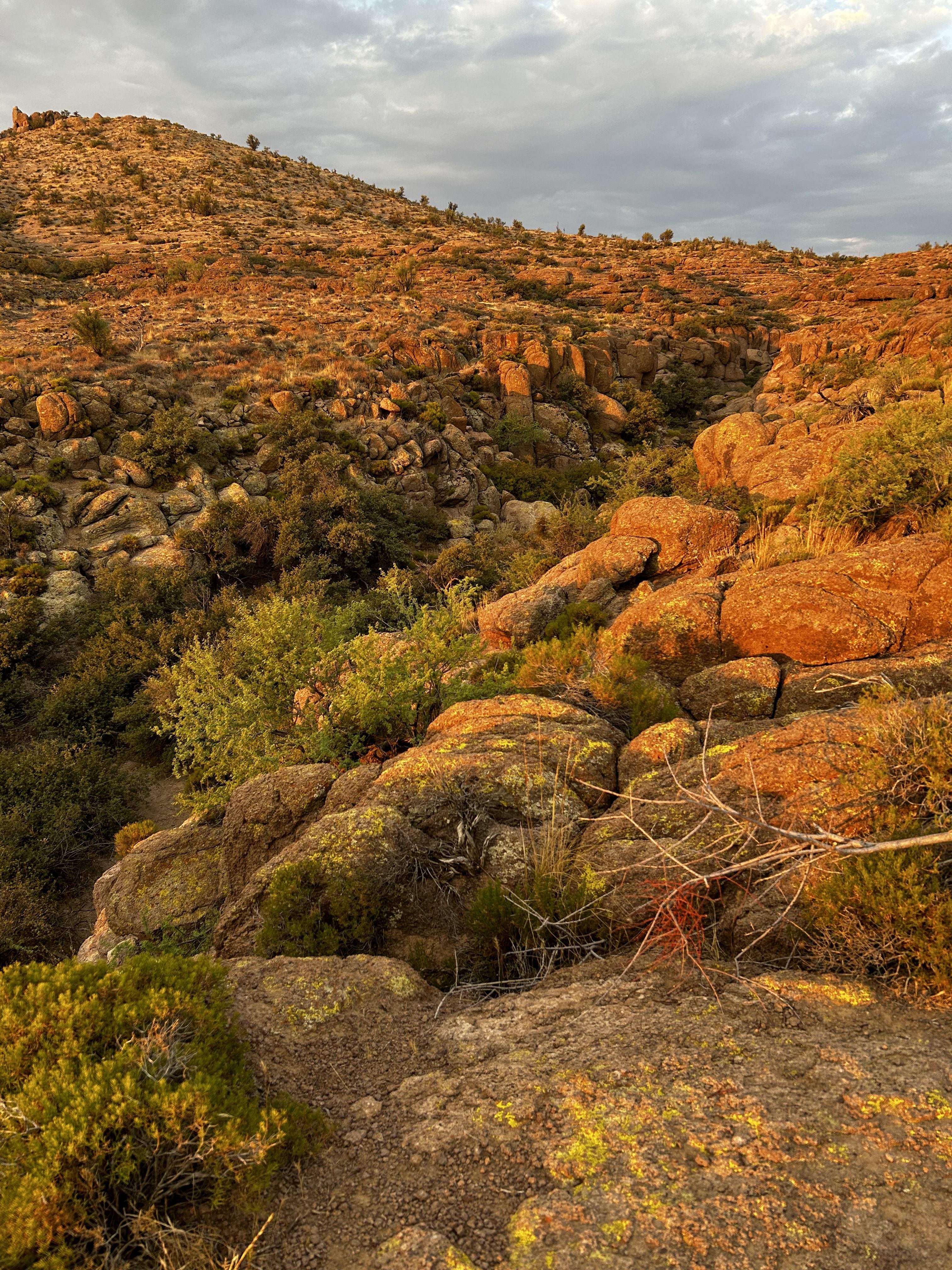
- The White Cliffs Wagon Road, carved into the volcanic cliffs north of town, is one of the last visible examples of 19th-century wagon engineering in the area. Deep ruts gouged by heavy ore wagons still mark the path. This trail now links to a web of hiking and biking routes, and nearby in the Cerbat Foothills Recreation Area there are more trails where scenic views and desert solitude reign supreme.
- Mohave Milltown Road Trail offers a rugged passage into the heart of old mining country. It roughly follows an old freight route connecting ghost towns and forgotten claims—where history whispers on the wind and cacti stand like sentinels of time.
- Stockton Hill Road, once a rough and ready connection to the mines, is now both a modern thoroughfare and a jumping-off point for backcountry adventures.
- Many of the modern-day trails and OHV routes throughout the region incorporate segments of these old transportation corridors—testaments to the durability of early trailblazers and the enduring beauty of the land they crossed.
- Discover the road less traveled with the In Search of Lost Highways series on our YouTube channel.
Why It Matters: More Than Just a Road Trip
The tapestry of roads and trails around Kingman is more than a tangle of asphalt and gravel. These trails of time are tangible links to the history of America.
Each path tells a story of ingenuity, grit, and connection to the past. And the best part? You don’t need a time machine to explore it. Just a good map, Jim Hinckley’s America, a little curiosity, and maybe a pair of sturdy boots.
So whether you’re rolling through town on two wheels or four, hiking through the shade dappled canyons, or standing where wagon wheels once carved a path to prosperity, remember: the road you’re on was paved by stories. In Kingman, those stories are still waiting to be discovered.
Until next time, friends—keep the tank full, the coffee strong, and the curiosity endless.
Jim Hinckley’s America: Telling folks where to go… and sharing the stories that make every mile matter.
Thank you. Shared adventures are the best adventures.